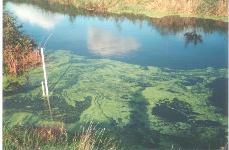
Water levels are measured at 4 points on Bear Mead,
with a scale drawn on a length of plastic pipe.
The points of measurement are:
- River Stour, Field #1, West (upstream), Range: 100-400 cms.
- River Stour, Field #1, East (downstream), Range: 100-400 cms.
- Mill Stream, Field #3, near small bridge, Range: 0-100 cms.
- Bob's Well, Field #5, near the centre, Range: 0-300 cms.
Requirements for the scale are as follows:
- Resistant to bright sun bleaching scale.
- Resistant to water flow bending, rotating and lifting pipe.
- Resistant to mud and growth darkening the scale.
- Easily read from a distance in poor light.
- Easily and cheaply made, erected, removed and replaced.
- Location reachable in waders at likely replacement dates.
- Scale units of cms, common arbitrary zero at Bob's well.
Best solutions found from use since August 2003:
- Use Marley waste pipe 50mm x 3M, from B & Q.
- Paint scale with oil-based paint, use red (dots) and green (numerals).
Use black marker pen for lines (1-4 and 6-9)
- Scale is calibrated by inserting a spacer under the pipe.
- Hammer a length of scaffolding firmly into the river bottom.
50mm pipe fits over the scaffolding fairly tightly.
Results
of the measurements are placed on the
Flooding on Dorset Stour website:
- Graphs and numbers are given for most days since 4 Aug 2003.
Some problems:
- A rare summer near-flood on 4 Jul 07, strong current dislodged
weed and wrapped it round the River West pipe, enlarging the
cross-section and enabling the current to snap the pipe. High
river-levels prevented replacement for nearly two months.


